Geologists at Stony Brook University have been using a variety of techniques, including ground penetrating radar, or GPR, to identify, categorize and analyze local topography.
Professor Daniel Davis of the Stony Brook Department of Geosciences explained that the radar antenna sends pulses down into the ground where, upon encountering a change in material, it reflects back to the sensors. Scientists can then use this data to find objects and changes in material buried below ground without actually having to dig them up.
However, GPR has its drawbacks. High frequency antennae send out small waves and produce high resolution images. However, according to Davis, “you’re lucky if you can get maybe five feet” of penetration into the soil. Meanwhile, scientists can penetrate much greater depths with low frequency antennae, but they have very poor resolution.
Scientists also have a difficult time telling the difference between materials when using GPR. Davis said that GPR is most useful when following a structure visible above-ground, where scientists can see where the structure goes when it dips below ground. For example, when coring into the soil, scientists can only analyze the material they excavate, not the surrounding material. They also have the ability to use electrical resistivity to categorize material, sending electrical pulses into the soil and measuring how resistant to electricity the material is.
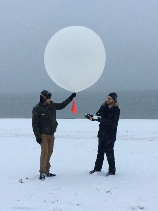
Stony Brook researchers, including graduate student Michael Itzkin, are using GPR on Fire Island. They hope their results will help better prepare communities and governments to deal with large storms and hurricanes on barrier islands.
Using GPR, they have imaged below beach surfaces to view underlying features. They have found that over time, sediment has been deposited onto the beaches, expanding them outward. Occasional storms will then erode the beaches back, leading to back and forth growth. The scientists can see the pattern of beach growth and erosion on a GPR readout. Then, using this data, they can find exactly where to extract their samples from.
Researchers are working to identify areas of past breaches on the barrier island. They plan to use optically-stimulated luminescence (OSL), a technique which can determine when material was last exposed to sunlight, to tell when particular breaches occurred and how quickly the beach was healed. This research is especially timely, as Long Islanders prepare to commemorate the fourth anniversary of Hurricane Sandy this October. Sandy was ranked as a category three hurricane that devastated the coastline and wreaked particular havoc on barrier islands like Fire Island.
Geologists have also been using GPR on Long Island’s glacial features. Long Island is riddled with glacial features left behind from the last glacial period, when the Laurentide Ice Sheet deposited massive amounts of sediment.
The two largest and most obvious of these features are the Harbor Hill and Ronkonkoma Moraines – two long, narrow ridges of sediment pushed up by the front of the glacier. The glaciers lie horizontally along the Island. Stony Brook lies on the Harbor Hill Moraine and several other glacial features are easily seen on campus. Davis and other scientists, including undergraduate and graduate students, have been conducting research on the geological structure of Long Island, including the moraines using GPR, electrical resistivity and other field techniques.
Push moraines, like those visible on Long Island, resemble in many ways tectonic features. Researchers aim to use these similarities to better understand tectonic motion and features, as well as glacial processes.


