Stony Brook University and NASA are teaming up to research snowstorms for the first time in 32 years.
Stony Brook University received $1.4 million last January from the National Aeronautics and Space Administration (NASA) to aid in ground research that would help to improve East Coast snowstorm forecasting.
NASA’s project, Investigation of Microphysics and Precipitation for Atlantic Coast Threatening Snowstorms (IMPACTS), collects data on what’s happening inside turbulent snow clouds called snow bands as they occur. NASA sends two planes directly into and above the storm to record how they form and expand, while Stony Brook, with help from the University of Illinois at Urbana-Champaign (UIUC), deploys mobile weather trucks and launches weather balloons into the snow bands to help accurately predict snowfall.
IMPACTS will collect data over six weeks once a year from 2020 to 2022. The first mission began on Jan. 17 and ends March 1. Scientists on the project plan to analyze the information gathered during the summer.
“We’ll be able to take a look at the data and understand what are the mechanisms that lead to some of these fine-scale structures,” Brian Colle, co-investigator of IMPACTS and professor in the School of Marine and Atmospheric Sciences (SoMAS), said. “We’ll be tackling that with the observations from IMPACTS.”
Colle, a member of the science and mobile units, acts as a liaison between the ground and flight teams. He relays information to coordinate data analysis and future dispatches of both groups.
NASA’s plane, a P-3 Orion, launches from the Wallops Flight Facility in Virginia and takes measurements from inside the storm while a ER-2 aircraft from Savannah, Georgia, flies above the snow clouds. The two planes fly vertically at the same time, equipped with a plethora of new weather technology. The ER-2 collects satellite data and the P-3 Orion measures data like water content and particle size in the snow clouds.
Andrew Janiszeski, a graduate student from UIUC, deploys weather balloons for the project in the Northeast. Last weekend, IMPACTS dispatched him to Rutland, Vermont to track storms. This week, he’s in Binghamton, New York.
Janiszeski said the snow bands tell “the story of the storm.”
“So we’re trying to benefit the science community to have just a greater understanding of how these features [of the snow bands] come to be and how they evolve,” he said.
Mariko Oue, a postdoctoral fellow at SoMAS, operates the Stony Brook University team’s weather radar. Her goal is to understand the role of microphysics in cloud systems.
“This is a very big project involving many institutions and universities,” Oue said. She said the “coolest” part of her role is remote sensing, which transmits information about a phenomenon — such as the composition of snow bands to researchers — without them having to be there.
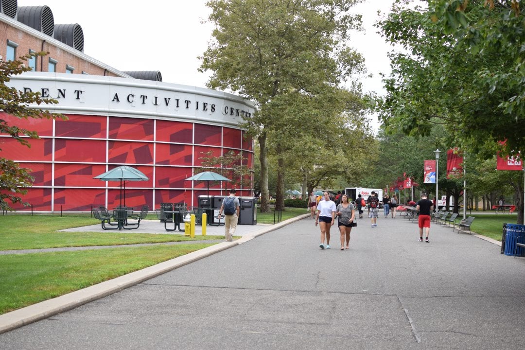
Researchers have deployed the mobile weather truck twice so far. According to Colle, the first time was at Cedar Beach on Jan. 18. It was last deployed in the South P lot on Jan. 25, where it also stays in between missions.
The most recent major east coast snowstorm study was Project Erica in 1988. Project Erica examined winter cyclones that formed over the Atlantic Ocean. Now in 2020, significant advancement in weather technology lets atmospheric scientists research what’s occurring inside the storms.
“We’ve been waiting for the technology to advance,” Colle said. “Now we have the latest radar technology that can get down to tenths of a meter resolutions in terms of probing into a storm.”
Although Long Island has not seen a major storm yet this winter, researchers said they can gather data with rain, sleet or snow.
“The atmosphere can do a lot with a little,” Janiszeski said.

